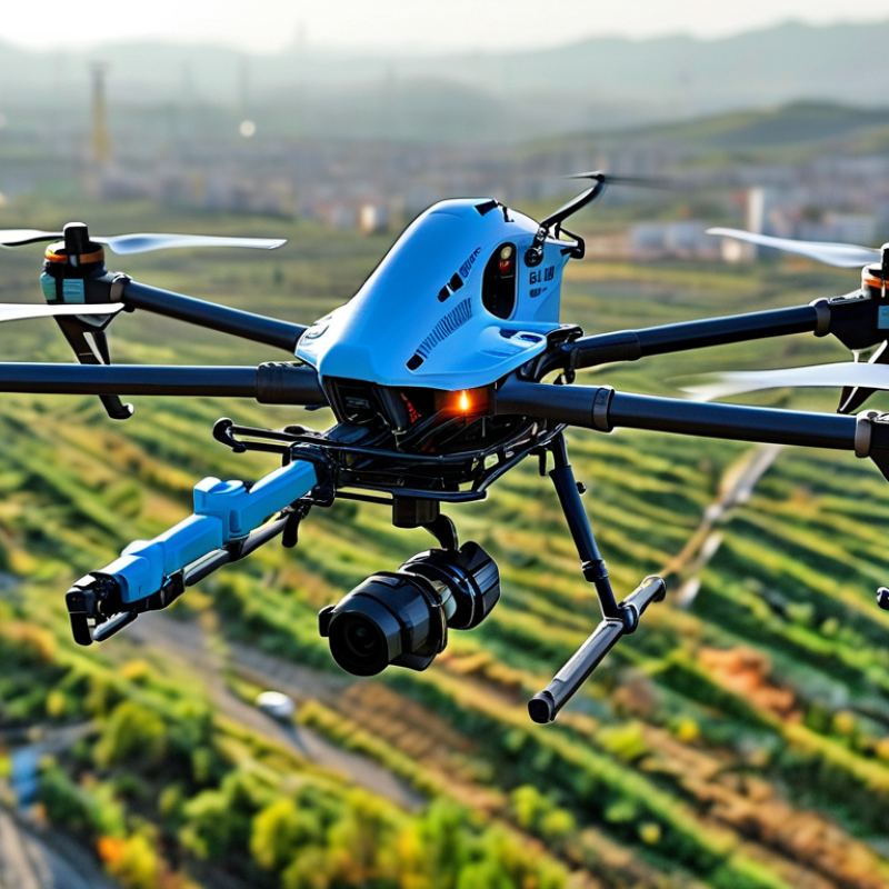
| Platform 1 | Up to 55 minutes | 9.2 kg | Up to 2.7 kg | IP55 | -20°C to 50°C | Up to 15 km, region dependent | Dual-frequency GNSS with RTK support | Heavy-lift multirotor operations with interchangeable cameras, mapping sensors and inspection payloads | Power-line inspection, corridor mapping, emergency response and infrastructure surveys |
| Platform 2 | Up to 55 minutes | Approximately 9 kg | Up to 2.7 kg | IP45 | -20°C to 50°C | Up to 15 km, region dependent | RTK positioning, obstacle sensing and redundant flight systems | Multi-sensor operation using downward, upward and dual-payload mounting positions | Industrial inspection, surveying, public safety and large-area asset management |
| Platform 3 | Up to 41 minutes | 3.77 kg | Integrated sensor payload; no separate heavy-lift rating | IP55 | -20°C to 50°C | Up to 10 km, region dependent | Multi-constellation GNSS with optional RTK capability | Compact enterprise aircraft combining wide-angle, zoom, thermal and range-finding sensors | Roof inspection, firefighting support, security patrols and construction progress monitoring |
| Platform 4 | Up to 42 minutes | 1.999 kg | Integrated multi-sensor payload; no external payload rating | IP43 | -20°C to 50°C | Up to 20 km in compliant radio environments | GNSS, visual positioning and obstacle avoidance | Long-endurance compact aircraft with thermal imaging, laser ranging and night-operation support | Search and rescue, solar-farm checks, perimeter security and inspection of remote assets |
| Platform 5 | Up to 40 minutes | Approximately 2.11 kg | Integrated camera payload; external payload use is limited | IP55 | -20°C to 45°C | Up to 10 km, region dependent | GNSS, visual navigation and automated obstacle avoidance | High-resolution visual inspection with rapid deployment and automated flight workflows | Utilities, telecommunications, bridges, towers and public-safety operations |
| Platform 6 | Up to 32 minutes | Approximately 1.5 kg | Integrated imaging payload; no heavy external payload rating | IP53 | -35°C to 50°C | Up to 9 km in compliant radio environments | Multi-constellation GNSS with optional RTK and photogrammetry support | Lightweight professional mapping and inspection platform with a high-resolution camera | Surveying, 3D modeling, building inspection and confined-area documentation |
| Platform 7 | Up to 37 minutes | Approximately 3.7 kg | Up to approximately 0.8 kg, configuration dependent | Weather-resistant professional design | Approximately -20°C to 45°C | Up to 8 km, region dependent | RTK-capable GNSS with automated return-to-home functions | Modular mapping aircraft designed for interchangeable photogrammetry and surveying payloads | Mining, construction, agriculture, land surveying and volumetric measurement |